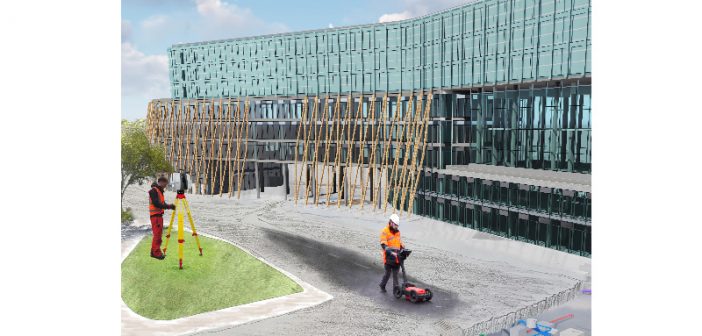
Murphy Surveys provide multiple survey deliverables, including Underground Utility Surveys, in one combined BIM data platform.
Murphy Surveys is committed to providing cost-effective, world-class survey solutions through a combination of highly qualified personnel and the most cutting-edge technologies available. Our technology integration is a unique and industry leading initiative that changes the way BIM survey data can be captured and combined into one deliverable. Multiple layers of information are made available in one file without the need to trawl through multiple drawings, different surveys, reports and/ or databases. Within one delivery portal the entire site and design model can be viewed in a variety of ways. Underground, Topographical and Aerial data is combined into one BIM to provide the client with all information required to accurately design and build their project.
Before this initiative, clients would gather much of their survey data separately and sometimes from multiple suppliers and in different formats. They would commission a topographical / boundary survey for planning. Then a site survey or measured build survey might be requested just before the construction stage. During the construction stage a utility survey would be carried out before any major excavations. Roof inspections would be carried out separately and so on. This resulted in disjointed data in multiple formats some of which was not viewable together or in digital format.
• All survey data is delivered in one combined platform to enable development of an accurate and complete 3D BIM
• Data can be viewed and shared by the client via secure web portal
• All data captured in one visit- quick and efficient data capture
• Accurate 3D BIM created in Revit for planning, design, construction and operational stage.
BIM Underground
Murphy Surveys provide highly accurate Underground Utility Surveys that enable us to cut costs and risks for our clients, while meeting the highest standards of precision and detail. We offer customisable services to meet any unique requirement. The successful detection and mapping of buried utilities involves the combination of several techniques, the results of which are synthesised down to a single interpreted plot. The techniques and methodologies used will primarily depend upon the required outcome for the survey, the site conditions and the type of pipes or cables being targeted.
Benefits of carrying out a professionally executed survey:
• The safety of the workforce and public
• Minimise utility damage
• Minimise project delays
• Risk Reduction
• Knowing the constraints when designing and planning
• Saving costs through producing as-built records
• Reduces traffic management costs
• Reduces the amount of intrusive investigation such as slit trenching
• Gives the client an overall view as opposed to slit trenching which usually covers only a small % of a site
• Promoting good relationships between client and surveyor
Deliverables available to clients:
• 3D wireframe and model drawings of underground structures/ chambers and associated cable and pipe networks
• GIS outputs
• Geo-referenced manhole photography
• Longitudinal sections & cross sectional views of pipework
• Detailed reports
Murphy Surveys Offer PAS 128 Compliant Underground Utility Surveys
In Ireland, there are no agreed or published standards for the detection, verification and location of underground utilities or the collection and recording of underground utility survey data.
Murphy Surveys’ clients can be assured of the quality of our work, as we offer PAS 128 compliant surveys. We carry out all our underground utility surveys to PAS 128 specification for underground utility detection, verification and location.
We seek to ensure clarity in the service we provide and methods we employ. We are accountable for the work we undertake and consistent in the approach to data capture and classification of the results.


